Barranco Ruiz Trail from Icod El Alto to Las Aguas – coastal ravine views, geology and miradors
North of Tenerife, the Barranco Ruiz ravine drops from the hills of Icod El Alto to the Atlantic at Las Aguas, beside San Juan de la Rambla. This photoguide follows a logical route: we start with a wide coastal overview, then move through the trailhead and safety signage, explore the ravine’s layered volcanic geology, visit seafront viewpoints, and finish with mirador and rural terrace scenes.
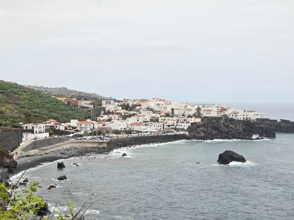
Access and safety at the trailhead
The main access starts near Icod El Alto. Look for the wooden posts and stone walls at the entrance, and read the official warning panel about rockfall risk. The route crosses unstable slopes, so hikers should keep to the path and avoid stopping below cliffs.
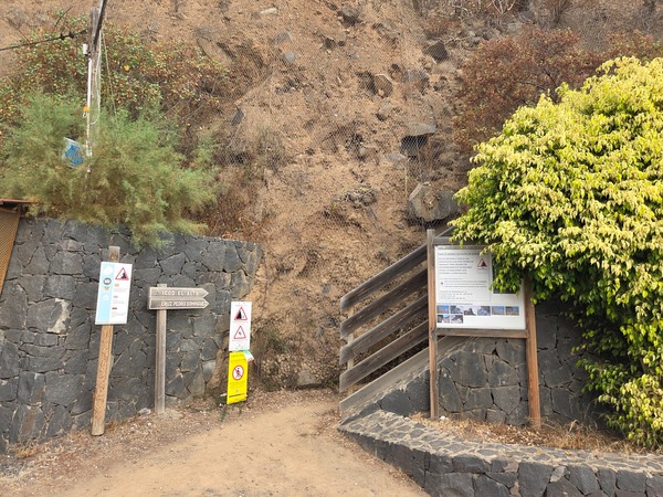
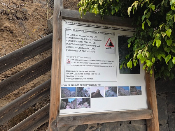
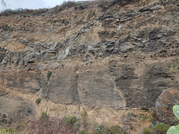
Geology of Barranco Ruiz
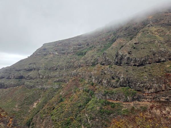
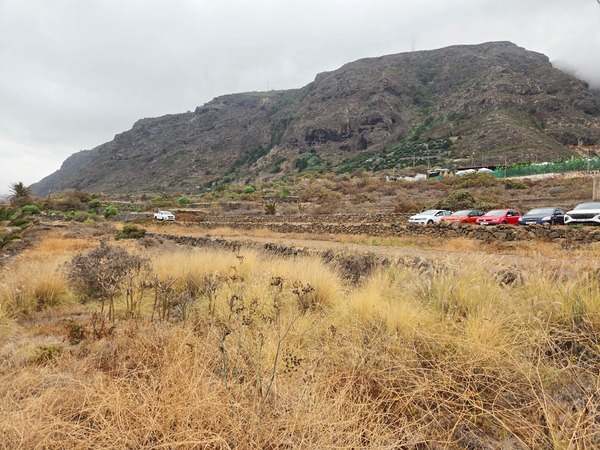
The ravine is a natural cut through stacked eruptions. You can clearly see contrasting layers of basalt, pyroclasts and pale tuffs, evidence of Tenerife’s volcanic history. Erosion carves ledges and small caves, while vegetation clings to the strata.
Seafront and shoreline
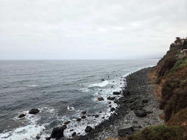
At the mouth of the ravine the landscape opens to the Atlantic. Waves break over a pebble shore framed by dark lava cliffs—a dramatic end to the hike and a classic look for Tenerife’s north coast.
Mirador and picnic areas
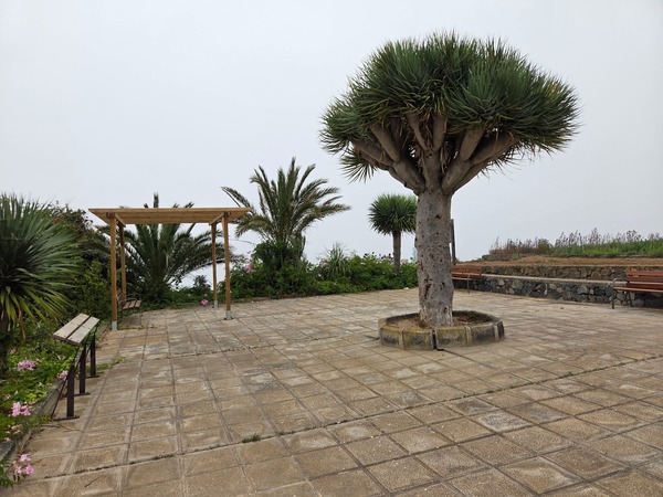
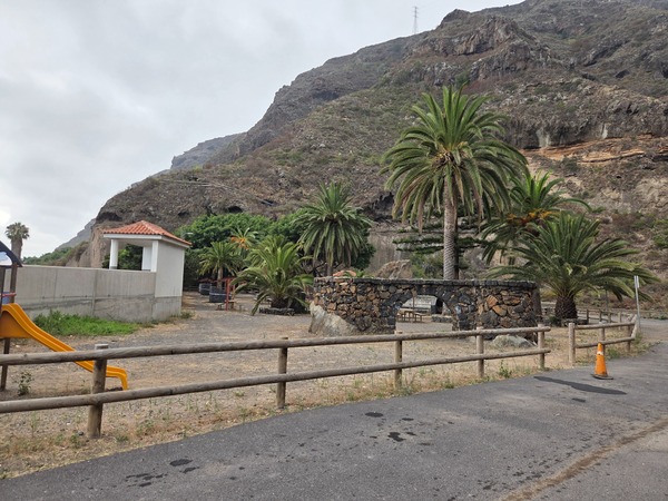
Above the ravine you’ll find small rest spots. A tidy mirador park with benches, a pergola and a striking dragon tree offers a peaceful pause with coastal glimpses. Lower down, a palm-lined recreational area provides tables and a playground.
Traditional agriculture on the slopes
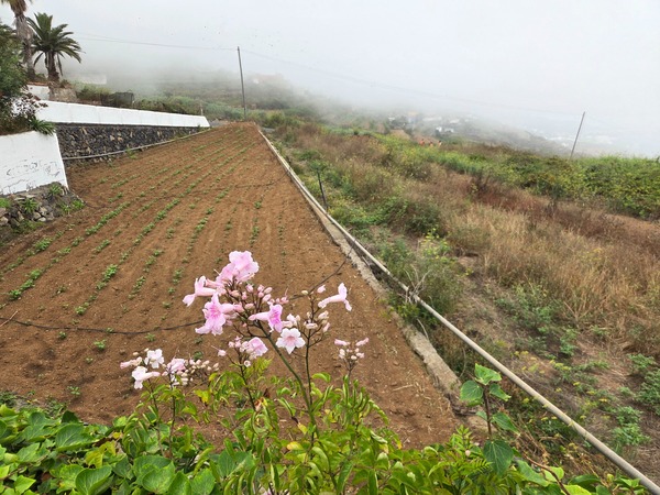
The surrounding hills host long-used terraces and small market gardens, typical of the island’s north. Stone walls retain precious soil; in season you’ll see freshly planted plots and grassed fields tracing the contours.
The Barranco Ruiz trail combines coastal scenery, volcanic geology and rural Tenerife in a compact route between Icod El Alto and Las Aguas. Check the signage, respect rockfall warnings and take your time at the miradors—this ravine rewards slow exploration and thoughtful photography.