Malpaís de Güímar: coastal trail, Montaña Grande and lava shoreline in Tenerife
The Malpaís de Güímar Special Nature Reserve (southeast Tenerife) protects a striking landscape of recent lava, coastal cliffs and xerophytic scrub around the volcanic cone known as Montaña Grande. The route combines easy paths over clinker, short stairways to coves, and panoramic views toward the Atlantic and Puertito de Güímar.
Panoramic overview of the reserve
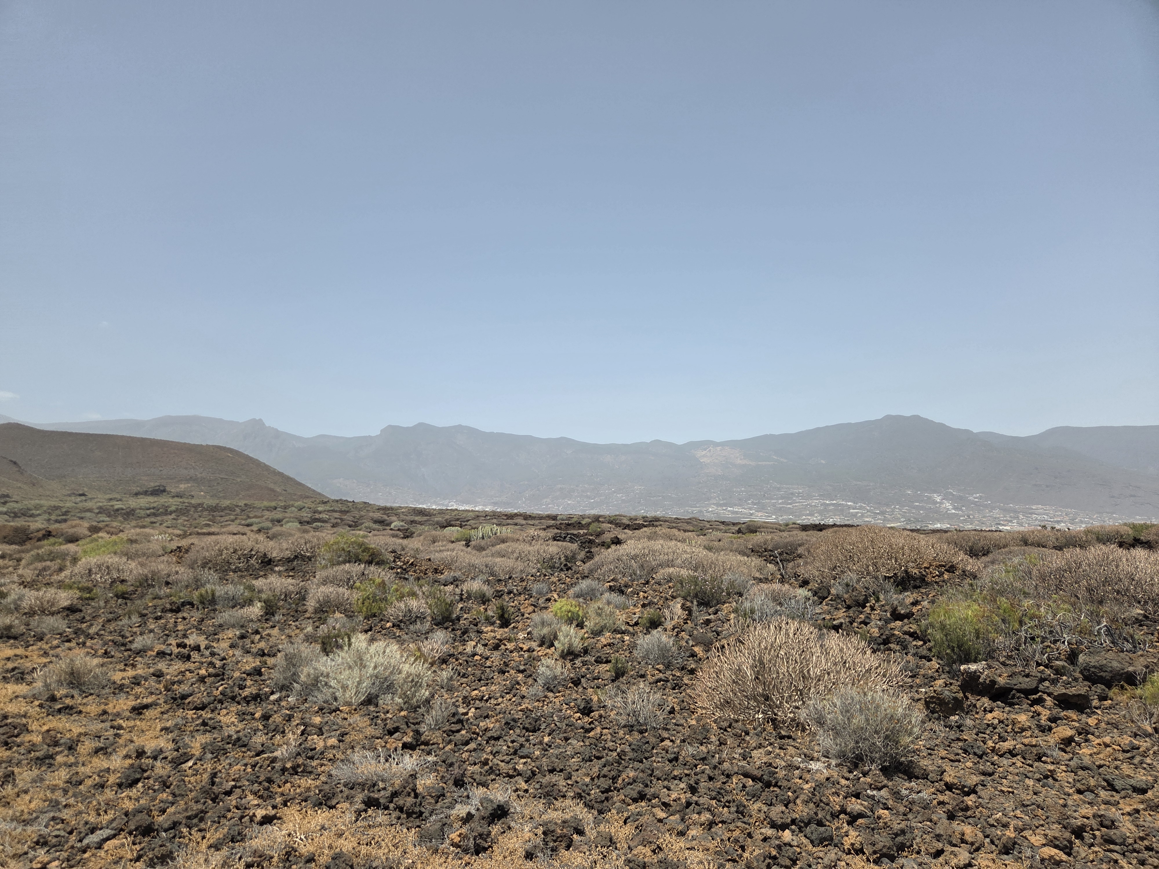
From the interior plain you can appreciate the contrast between dark aa lava and resilient shrubs adapted to wind and salt. Gentle paths traverse this open terrain toward the coast and the cone.
Visitor information and interpretation panels
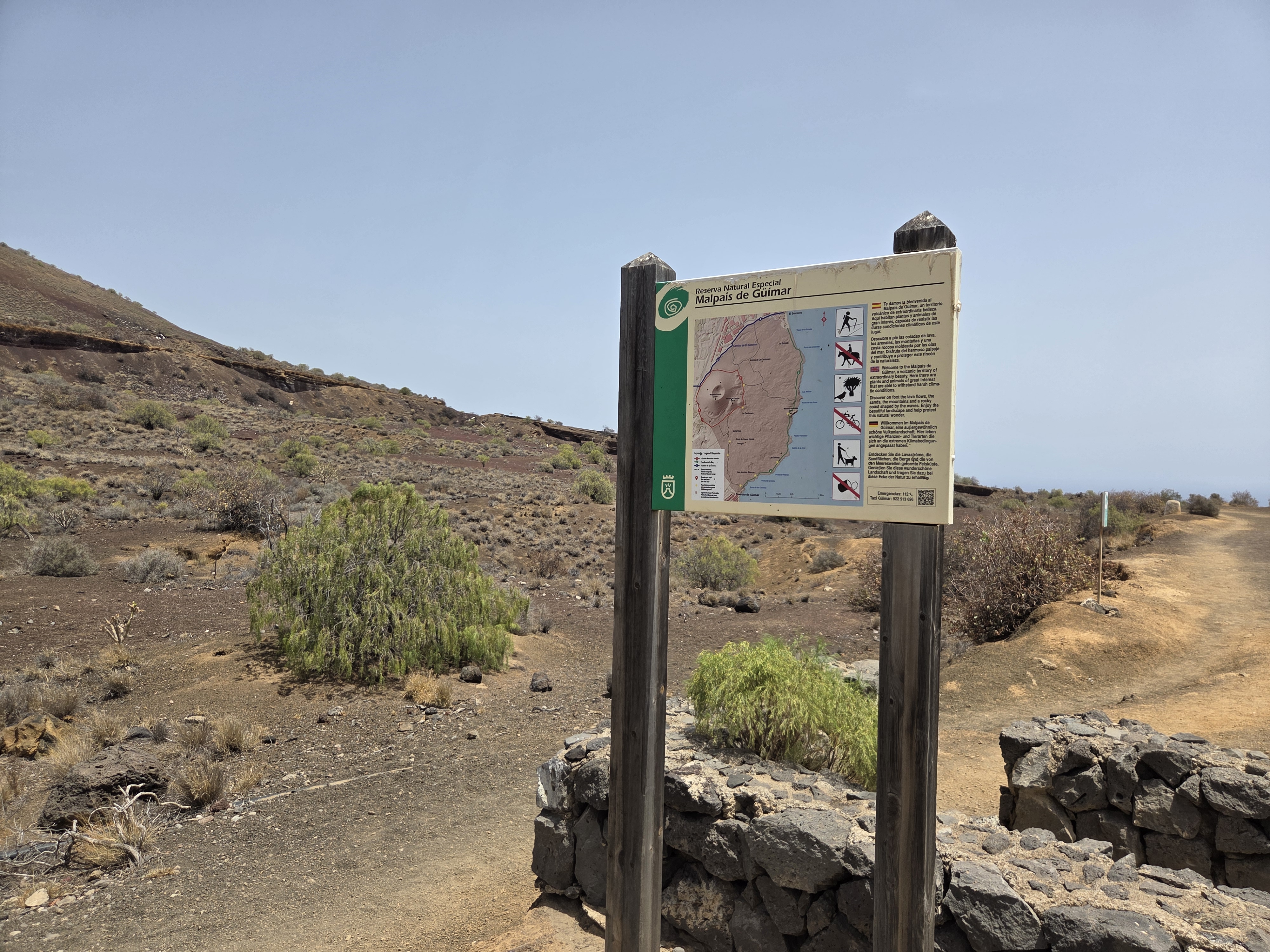
Trailheads include clear maps, route options and conservation rules so hikers can plan a safe circuit around Montaña Grande and the coastline.

Interpretive boards tell the story of historic uses such as small salt pans that took advantage of sun and wind on the black lava.
Interior trails and Montaña Grande

Approaching the cone, the path crosses cinder and scoria with low euphorbia and other drought-tolerant plants dotting the slopes.
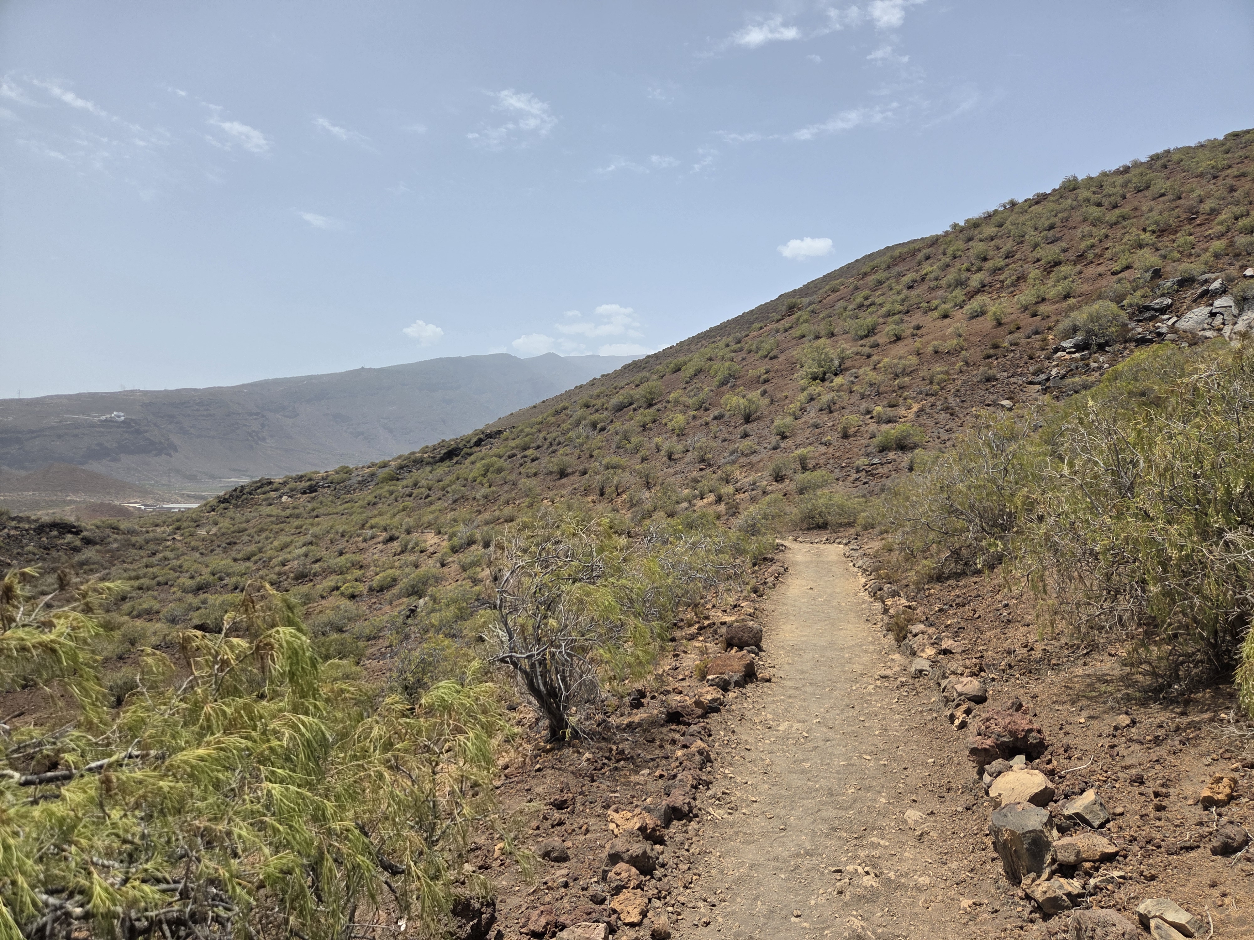
This section is sheltered from ocean winds and offers a good look at the textures of the lava and the reserve’s steppe-like vegetation.
Coastal paths and access to coves
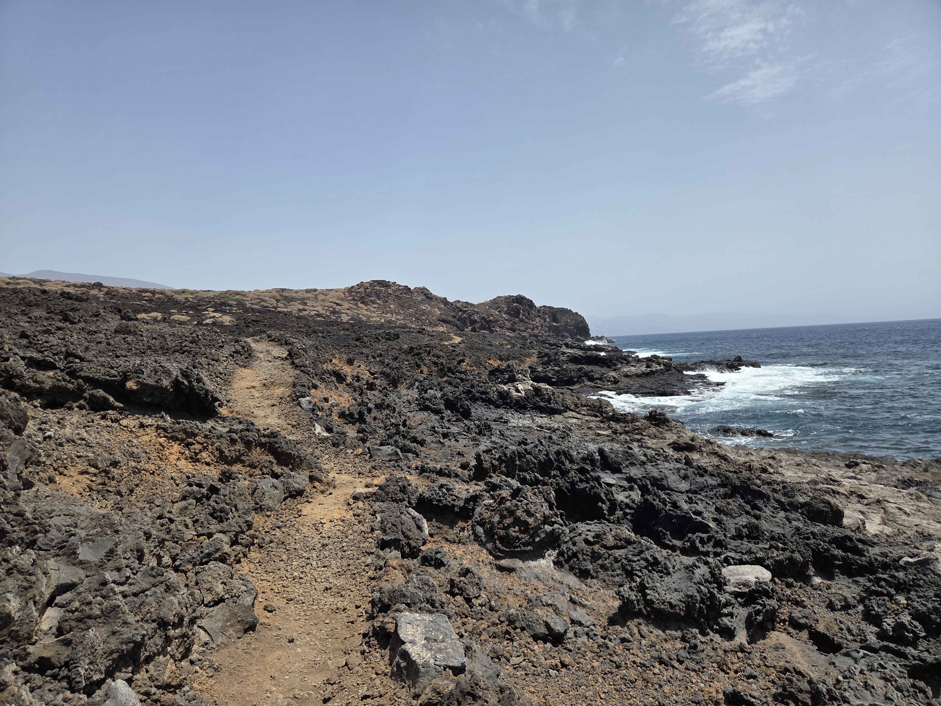
The route reaches the ocean on a well-defined path carved through rough clinker, with constant views of surf on dark rock ledges.
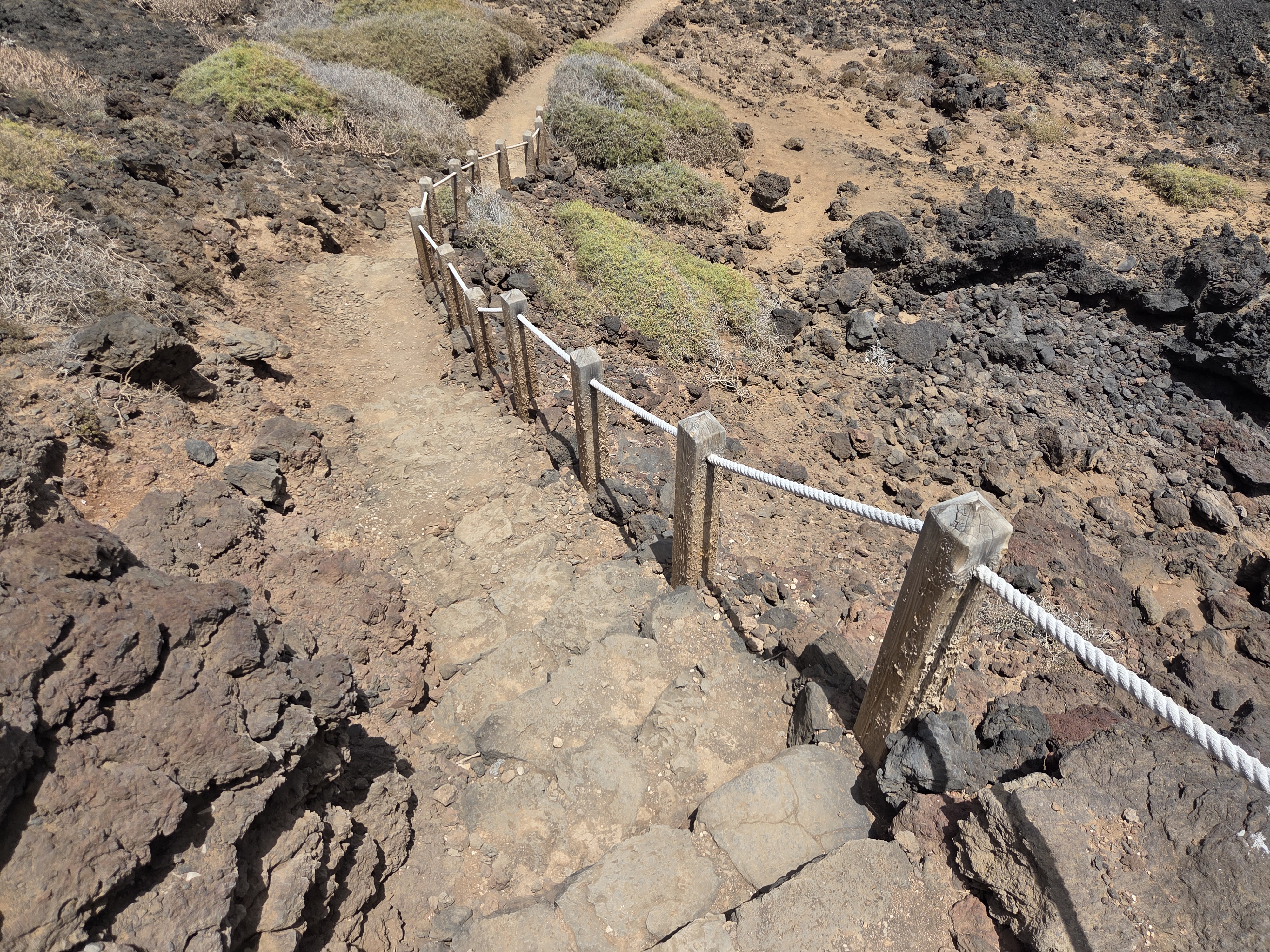
Short stairways provide safe access to lower platforms for closer views of the waves and rock pools.
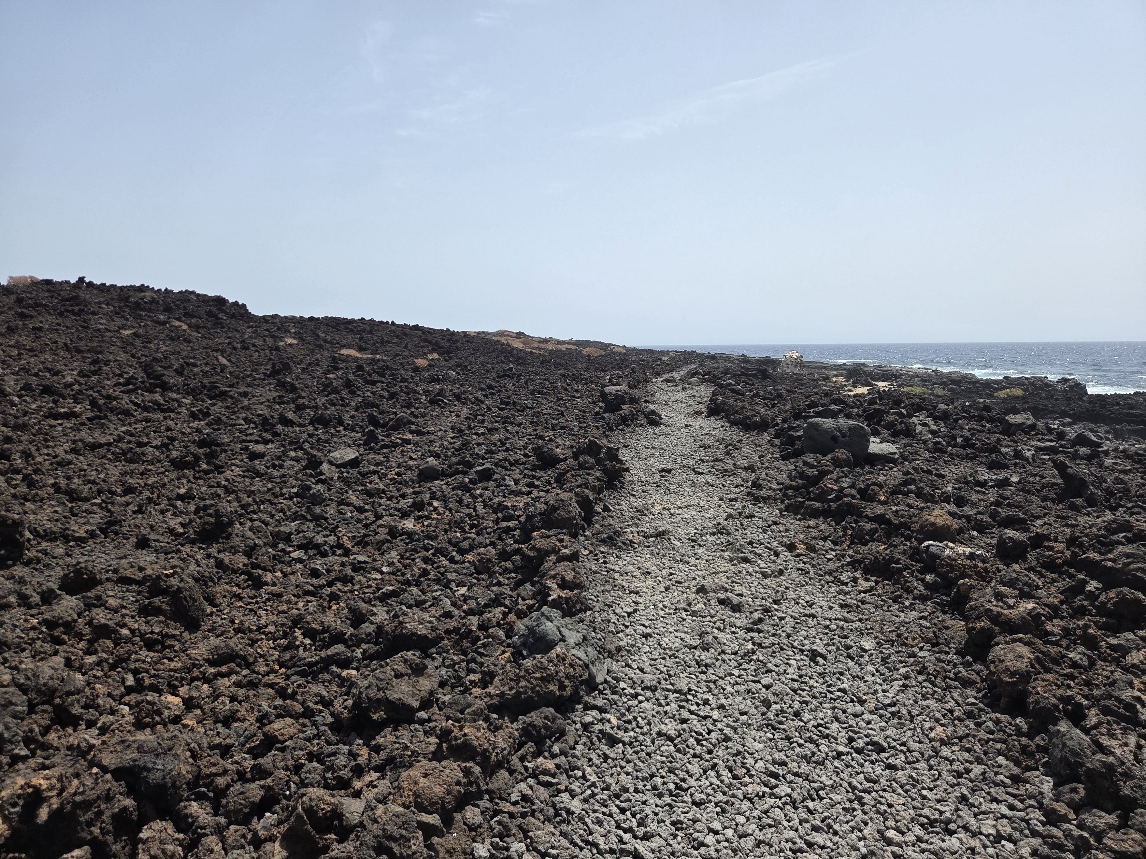
Sections of the trail are surfaced with compacted cinders, making the coastal traverse straightforward underfoot.
Lava shoreline: arches, ledges and rock pools
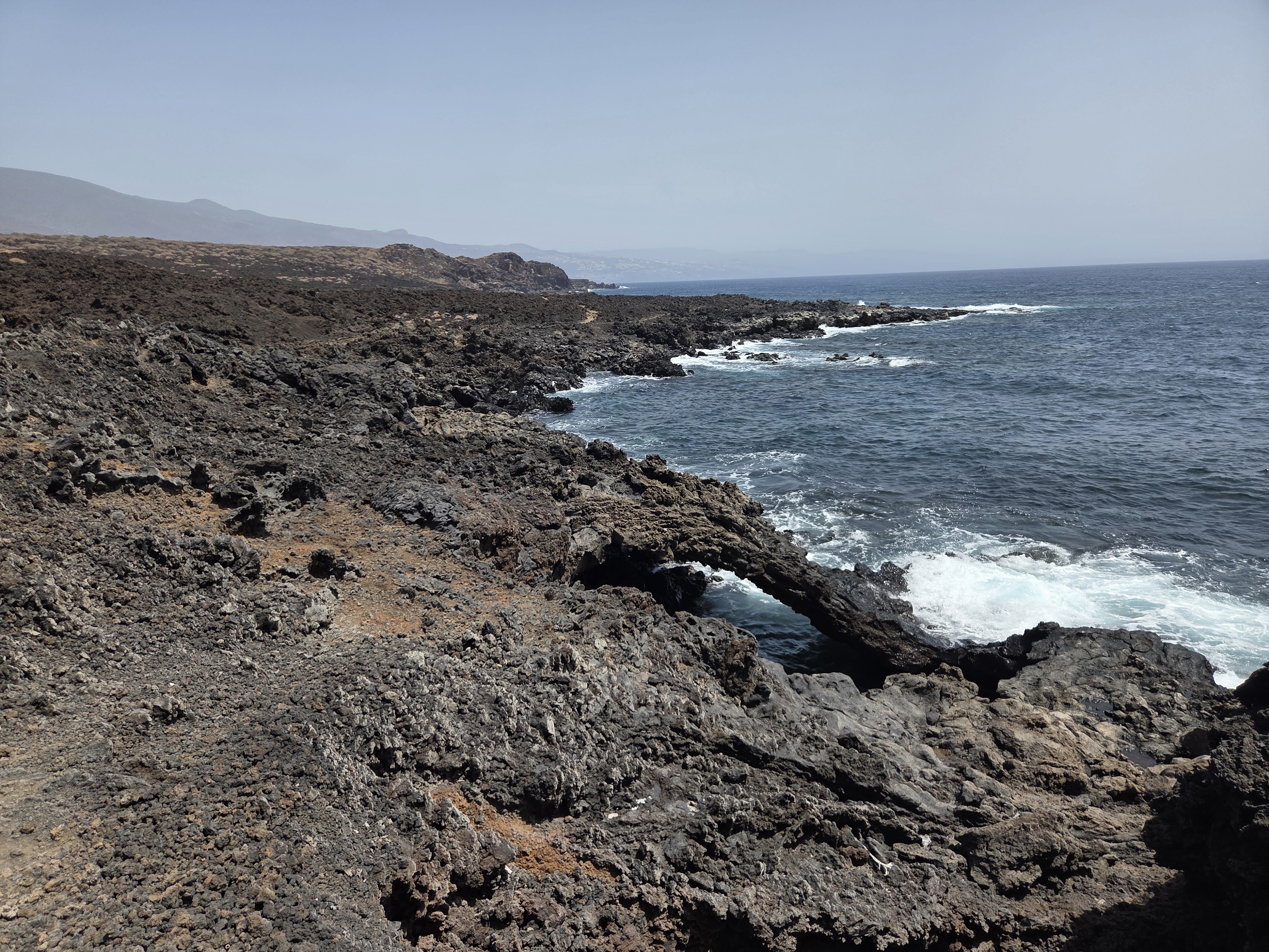
Wave action has sculpted arches and notches into the brittle basalt, creating dramatic viewpoints above turquoise water.
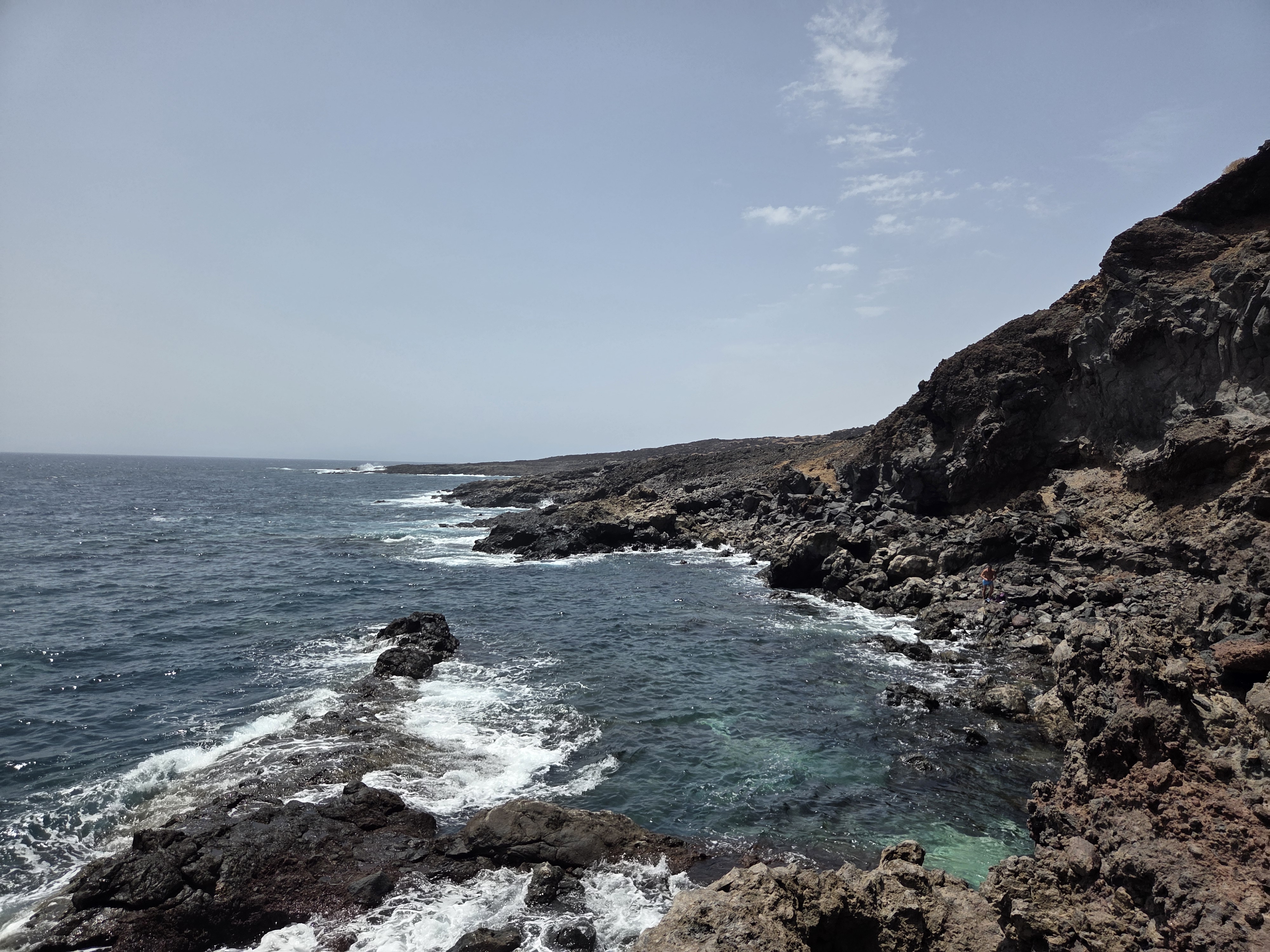
At low tide, flat benches and pools appear between the lava tongues—great for observing marine life from the trail.
Native flora of the malpaís
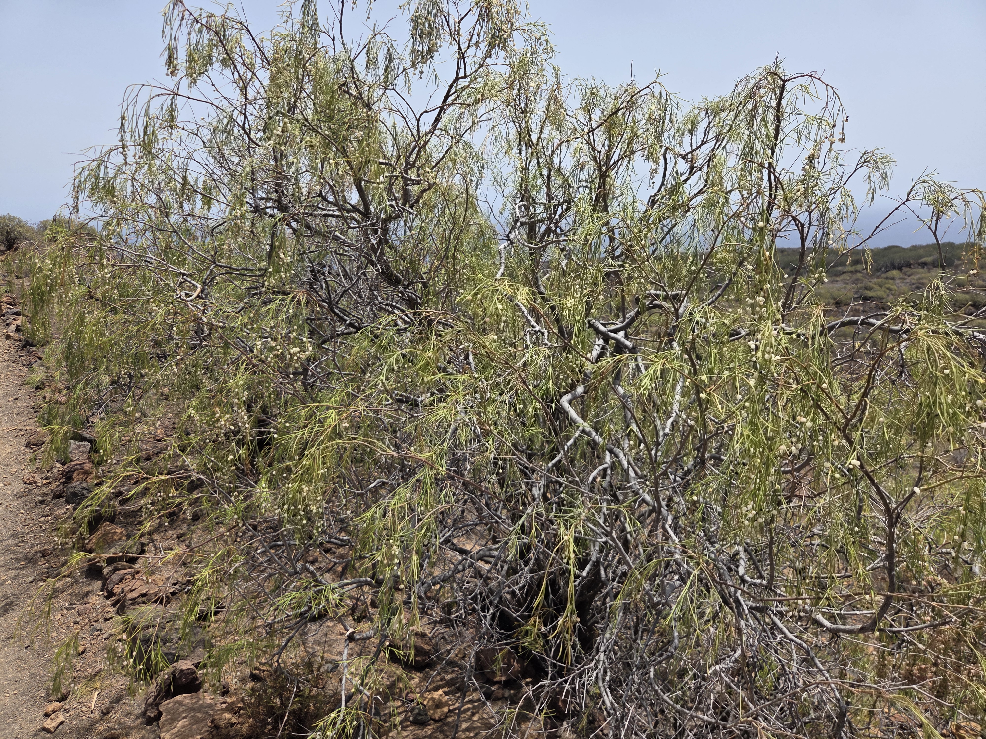
Specialist plants thrive here despite aridity and sea spray, giving the reserve its characteristic patchwork of green.
Views toward Puertito de Güímar
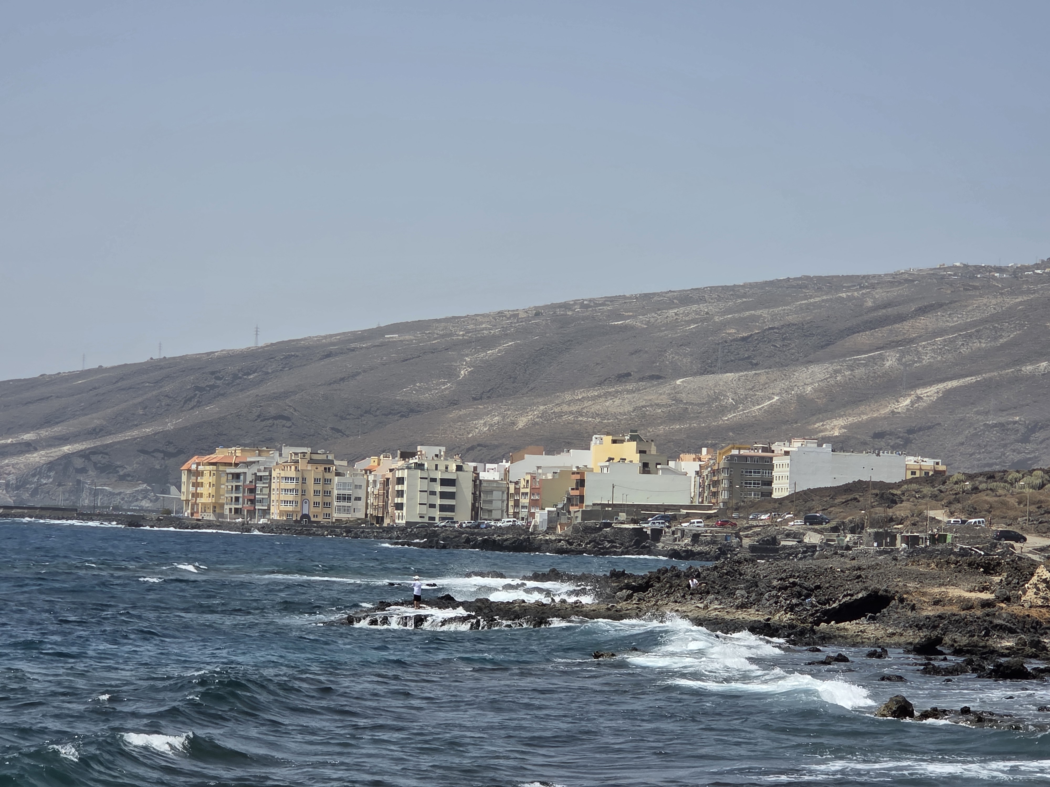
The town lies just beyond the boundary, providing orientation points as you follow the coastal section of the circuit.
Access and parking
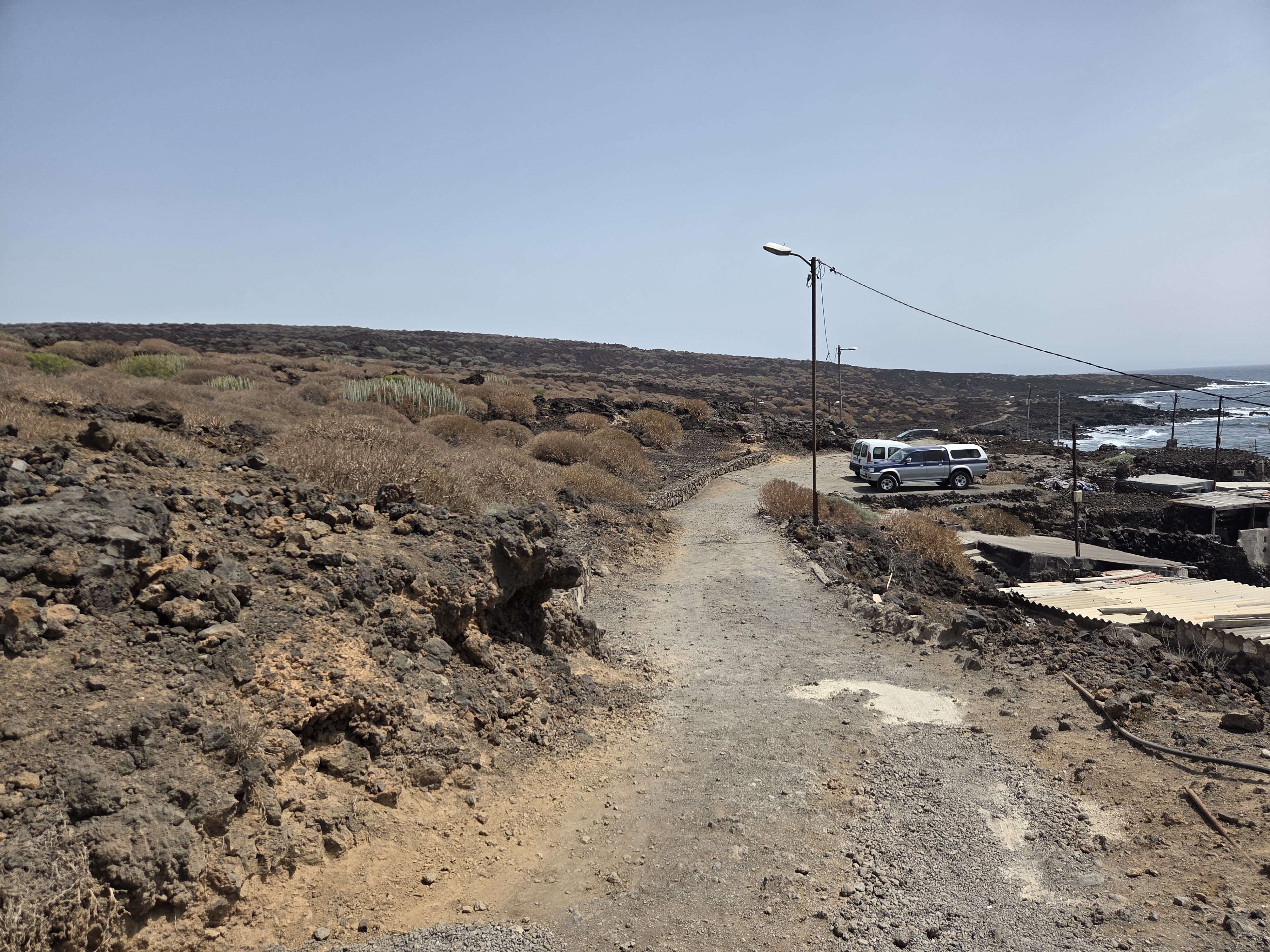
Parking areas near the coast make it easy to start the loop either inland by Montaña Grande or directly by the ocean.
Conclusion: The Malpaís de Güímar offers one of Tenerife’s most accessible volcanic landscapes—combining Montaña Grande, sculpted lava shorelines, and a clearly way-marked coastal trail. It’s a half-day walk with big scenery, ideal for photography, geology and plant lovers alike.