PR TF-10 hiking route: Punta del Hidalgo to Chinamada and Cruz del Carmen in Anaga Rural Park
PR TF-10 is one of the most rewarding hikes in Tenerife’s Anaga Rural Park, linking Punta del Hidalgo on the coast with the cave-house hamlet of Chinamada and the laurel forest around Cruz del Carmen. This photo guide follows the trail from the ocean cliffs through volcanic ridges into humid laurisilva, highlighting viewpoints, waymarks and typical terrain to help plan your walk.
Overview of the coastal start
The route begins by the ocean at Punta del Hidalgo, where the basalt cliffs of Anaga dive into the sea. On clear days you can see the serrated ridge stretching east; sunsets here are spectacular.
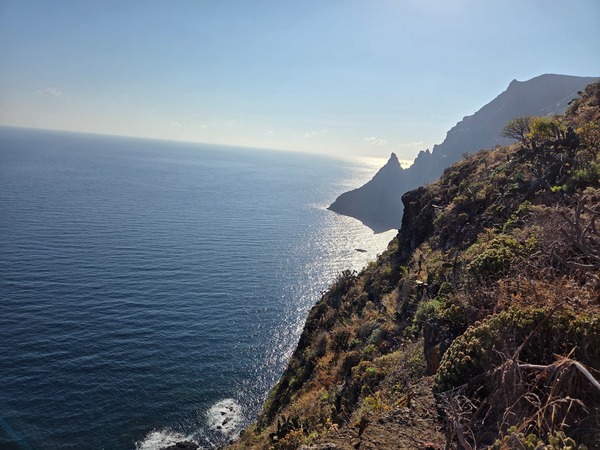
Starting point and waymarks
From the signed trailhead, follow the yellow-and-white PR marks. The path quickly leaves the coastal road and climbs towards the cliffs.
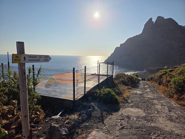
Early on, the path skirts Playa de los Troches, a wild cove below the trail. Waves and exposed slopes make it a photogenic stretch.
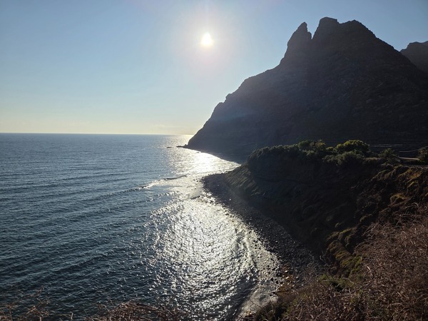
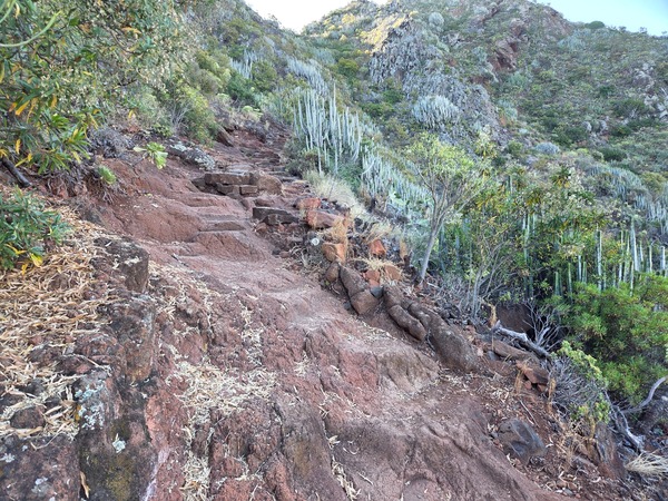
Steps carved into old lava flows lift you from sea level; the grade is steady, so grippy footwear helps on polished rock.
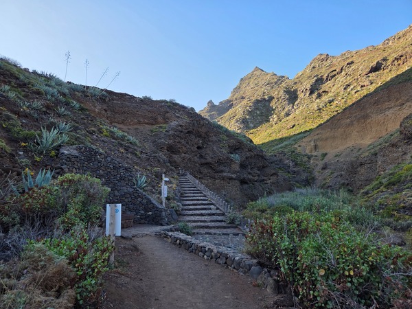
A narrow traverse hangs above a ravine where cardón cactus and tabaiba cling to the slope—expect loose gravel on corners.
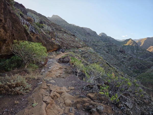
Climb and viewpoints
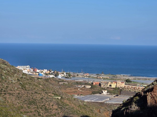
Look back for wide panoramas of Punta del Hidalgo and terraced fields shaped by trade winds; this is a perfect breather spot.
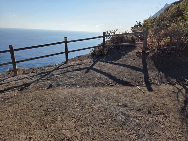
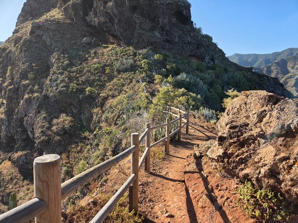
A small lookout with a wooden fence crowns the cliff edge—great for photos, but there’s no shade or water here.
Wind-carved cavities (tafoni) gnaw at the volcanic wall, creating an overhang beside the ridge path.
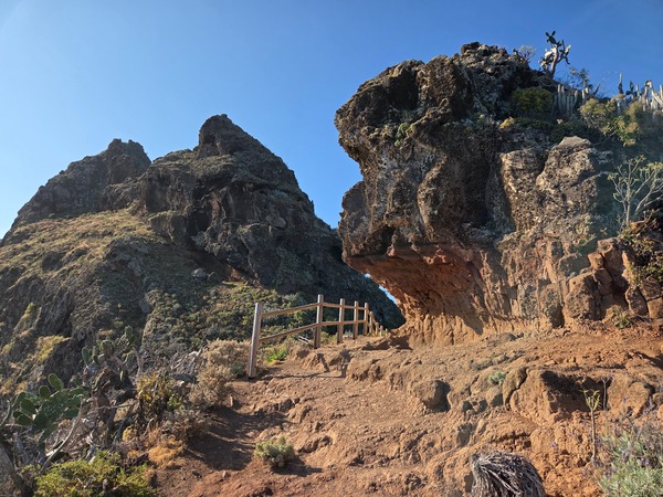
Along the exposed crest a handrail aids balance; the northeasterly trade winds can be strong on this section.
Red pyroclastic layers appear underfoot as the trail steepens; short switchbacks make the final push manageable.
Chinamada: cave-house hamlet
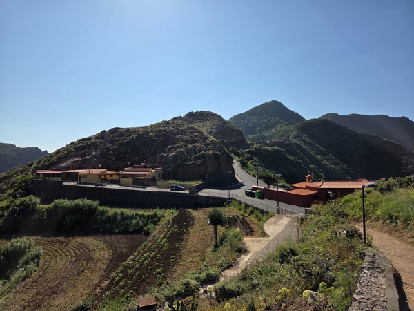
At roughly mid-route you reach Chinamada, famous for its cave dwellings carved into soft volcanic tuff and its small chapel. It’s a good rest stop with viewpoints over the Barranco del Río.
Into the laurel forest
Beyond Chinamada the landscape changes dramatically. Humidity rises, ferns line the trail and laurel trees close overhead, typical of the Anaga laurisilva.
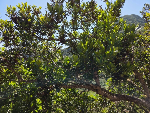
Cooler temperatures and dappled shade make this stretch gentler; expect soft soil and occasional damp patches.
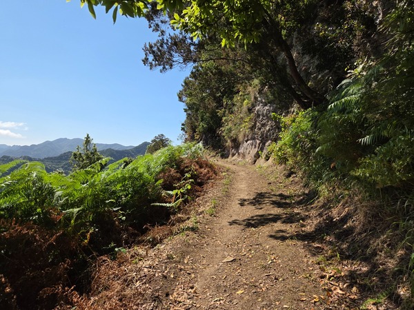
At a junction by a stone wall, a post points to the PR TF-10.1 variant; stay on PR TF-10 to continue towards the ridge.
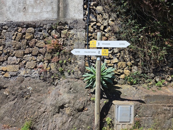
Las Carboneras area
Near Las Carboneras you may notice old charcoal pits and small caves—traces of traditional forest use now swallowed by greenery.
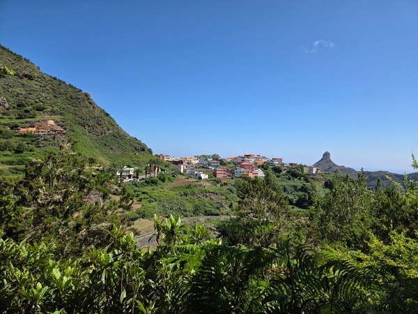
Clear waymarks list distances to Las Carboneras, Chinamada and Punta del Hidalgo, confirming progress along the ridge.
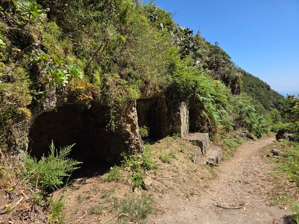
Approaching Cruz del Carmen
The final kilometres follow easy forest tracks to the recreation area and viewpoint at Cruz del Carmen, where cafés and buses connect with La Laguna and Santa Cruz.
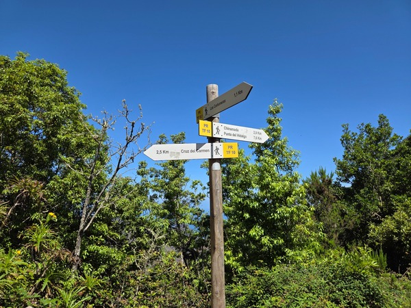
Planning tips: PR TF-10 is well waymarked but involves a continuous climb from sea level to the Anaga ridge. Bring water, sun protection for the coastal section and layers for the cooler forest. Many hikers do it one-way and return by bus from Cruz del Carmen or Chinamada. These photos show typical terrain and landmarks so you can pace your day and choose viewpoints for breaks.
Whether you start at Punta del Hidalgo or the ridge, this route captures the essence of Anaga—ocean, volcanic rock and ancient forest in a single day hike.